The StoryMap below provides a visual to the events surrounding the subdivision of the upper 51 acres owned by Emmett and Eunice Lehman in Lancaster Pennsylvania. The map does not provide dates and pictures of all 32 deed sales after 1981, but gives the first deed and another significant sale. It might prove purposeless to map out all 32, so significant plots are mapped and others omitted.
The map focuses on the case study surrounding 143 Drytown Road, but falls short describing the land use trends surrounding the area. A shift towards urban land use in Lancaster is occurring at this time as well(refer to timeline), as well as a plethora of other factors working in the background, unable to be depicted through a map.
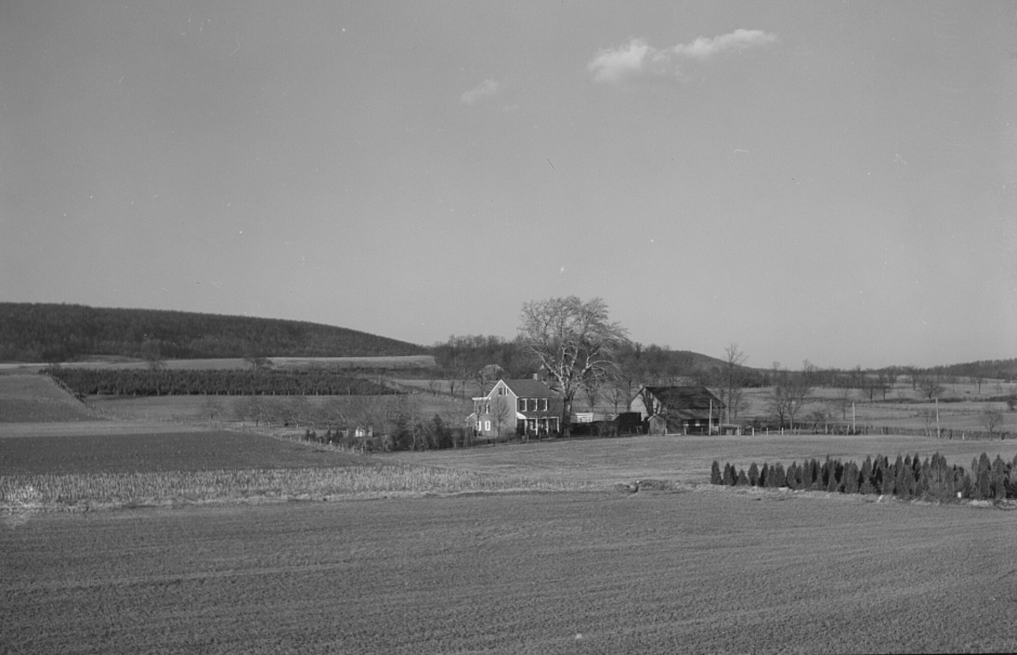
Refer to the StoryMap as an avenue for visualization, not only as the land exists now, but as it existed before development. Note the surrounding plots of farmland, and how the land would fit into the broader farmland conversation. Existing as woodland, untarnished by development, and cared for before the subdivision.
- Final Plan of Laurel Hill.” Lancaster County: Pennsylvania, February 13, 1978.
- Final Plan of Laurel Hill.” Lancaster County: Pennsylvania, February 13, 1978.
- Office of the Recorder of Deeds, Lancaster County, Pennsylvania. Land Deed. January 18, 1979.
- Office of the Recorder of Deeds, Lancaster County, Pennsylvania. Land Deed. May 15, 1981.
- Office of the Recorder of Deeds, Lancaster County, Pennsylvania. Land Deed. April 22, 1983.
- Lancaster County GIS, “LanCo View Version 2.0.”